Ever since Charles Darwin's voyage to the archipelago in 1835, the Galapagos Islands have been famed for their unique palette of biodiversity. In recent decades, however, invasive species have begun crowding out some of the island chain's most treasured native plants and animals. With thousands of square kilometers of relatively inaccessible wilderness at stake, scientists seeking to restore balance to these fragile ecosystems must find a way to map the extent of invasion. Now, researchers and collaborators with the Institute at Brown for Environment and Society hope to offer their assistance, thanks to a generous donation of high-resolution satellite imagery from the DigitalGlobe Foundation.
One of the islands' most invasive species is the quinine tree (Cinchona pubescens), the bark of which has been long sought-after due to its efficacy as a malaria remedy. After overconsumption during the second world war drastically depleted native stores in Ecuador, the tree was introduced to Santa Cruz, an island in Galapagos. The result was a perfect storm of affinity and virulence; although endangered on the mainland, Cinchona pubescens was soon wreaking havoc on the island's environment.
Species such as blackberry, guava, sauco, and lantana pose similar threats to the delicate ecosystems of Galapagos. Controlling these invaders is difficult and time-consuming work, however, and so it is essential that environmental managers know where to dedicate their efforts.
 Unfortunately, "we don't really know what the distribution is," explained Heinke Jäger, associated researcher with IBES, Brown's Department of Ecology and Evolutionary Biology (EEB), and the Charles Darwin Foundation (CDF). "What are we dealing with? Is it five hectares? Is it five thousand hectares?" Jäger and her IBES colleagues believe that the donated imagery from the DigitalGlobe Foundation will help to answer these questions.
Ideally, their analysis will also yield information about the density of invasive species like Cinchona pubescens. "It makes a difference if you have one tree in one hectare, or if you have one hundred trees [in one hectare]," said Jäger.
The team ultimately plans to share their measurements with the Galapagos National Park Directorate (GNPD), the organization that governs conservation on the islands. By understanding the extent to which invaders threaten certain endemic species, the GNPD will be better able to prioritize management actions and impart the most benefit to the ecosystems of Galapagos.
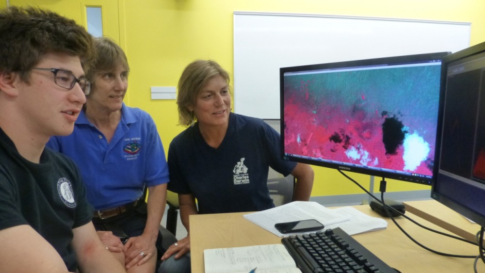
The project would not be possible without the dedication of EARTHLabManager Lynn Carlson, whose hard work was vital to securing the donated imagery. Other members of the team include IBES faculty fellows Jack Mustard and James Kellner and Brown undergraduate Ethan Ebinger. Their work will continue through the end of next year.