The course, entitled Sea level rise: how much, where, and when?, was conceptualized last year by IBES Director Amanda Lynch and co-designed by GIS expert and Visiting Assistant Professor of Environment and Society Samiah Moustafa.
 Together, Lynch and Moustafa taught a select group of high-school students from the Lincoln School to examine the global and local processes that cause changes in sea level. The girls then used GIS principles and software to map and communicate sea level rise in target areas.
"This short course was intended to provide hands-on training of a technical mapping software, as well as focusing on the timely issue of sea level rise for the coastal U.S.," says Moustafa, "The students were exposed to the environmental and social implications of climate change-induced sea level rise."
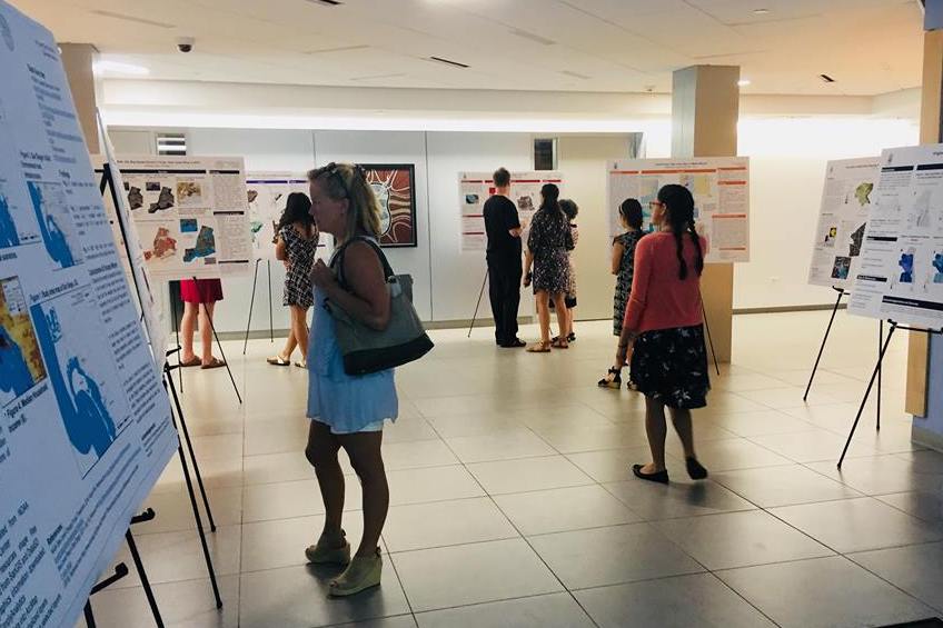
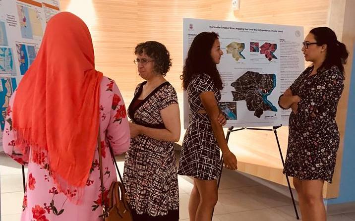
In just 7 class days, each student developed an independent sea level rise research project focused on a coastal city in the U.S.. On the last day of class, the students hosted a poster session during which they presented their findings to peers, friends, and family.
Lynch and Moustafa led the course with an eye toward improving STEM education among local young women."
 This opportunity is crucial for helping inspire high school girls—the next generation of women—to cultivate a passion for science and math," says Moustafa. "This program is intended to work towards filling the 'leaky pipeline' often used to describe the loss of underrepresented students and girls in STEM fields throughout the academic track."
This summer's program was designed as a pilot for future summer courses, which will be open to a wider community of students in the Providence area.
"We are hoping this program will develop in such a way that it will be available for all high school girls in Rhode Island to apply and gain skills in mapping, GIS, and understanding in processes of sea level rise and climate change," says Moustafa.
For more information about the program, visit the course listing.